Thursday 28 July 2016 – Ilfracombe, North Devon.
In a break from tradition I will add a bit of news that is current as of today, 07 August. My short period ‘between jobs’ ends tomorrow when I start a three month contract doing systems analyst and support work for the software house that supplied the package I have been supporting over the past two years. This was anticipated as I left my last job, but as always there was plenty of detail to sort out. I am expecting to only work three or four days a week as well, which of course suits me perfectly.
The three month time frame was what I wanted as I am going to go to Australia and New Zealand in November as my eldest son, and middle child, has a baby due at the end of October. My daughter is going to be in India in November so I may do a two week side trip there as well. Exciting times ahead!
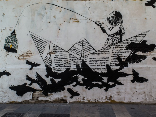
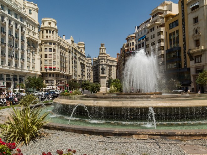
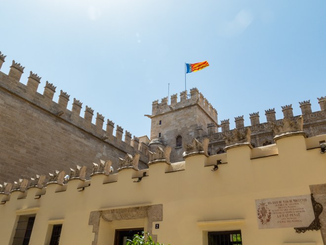
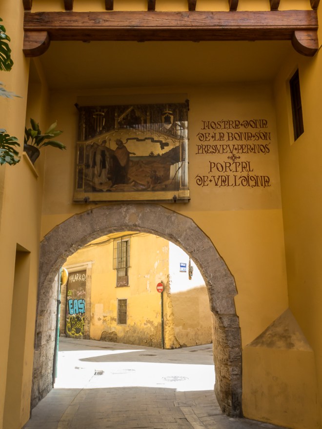
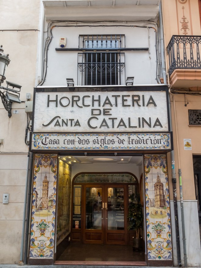
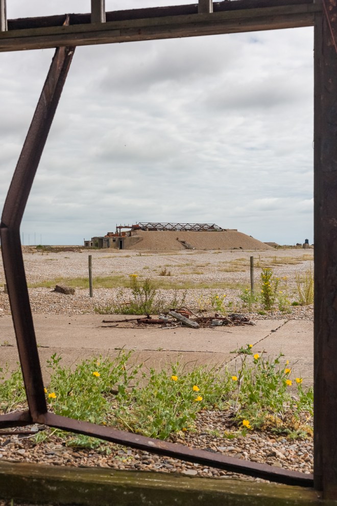
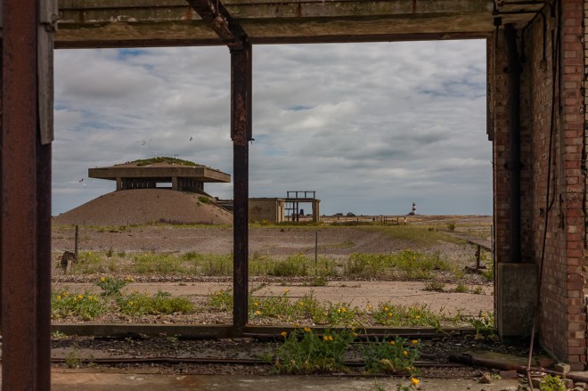
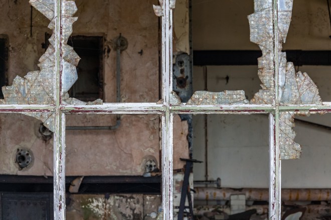
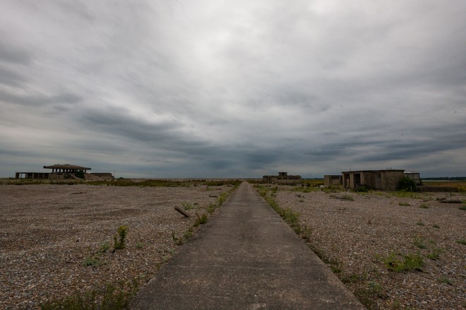
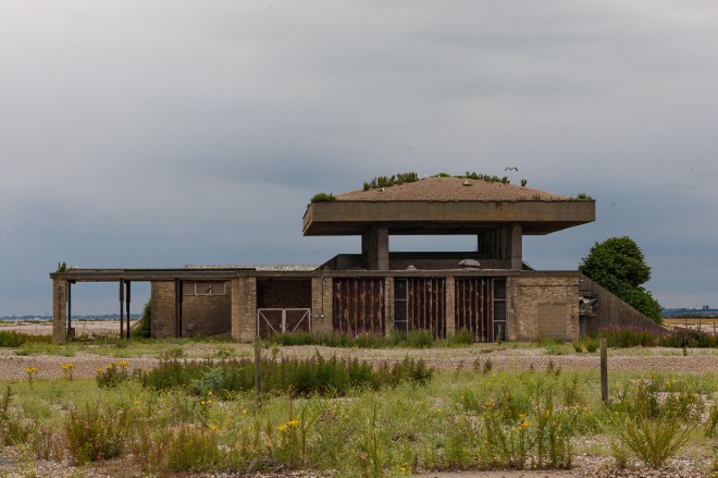
Of course by any standard there has been plenty of exciting times recently, with photography tours to Orford Ness, three days in Valencia with friends and now, two days after returning from Valencia El and I are off to Ilfracombe in North Devon for a week of relaxing.
We chose Ilfracombe as there is not a lot to do there, there are few sights to see or sites to visit, or much else really. The idea was to relax and do as little or as much as we felt like rather than charging around doing touristy things as I tend to do on holiday.
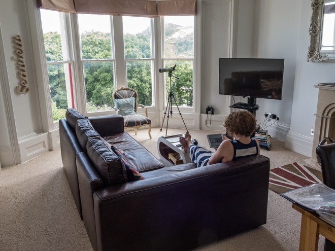
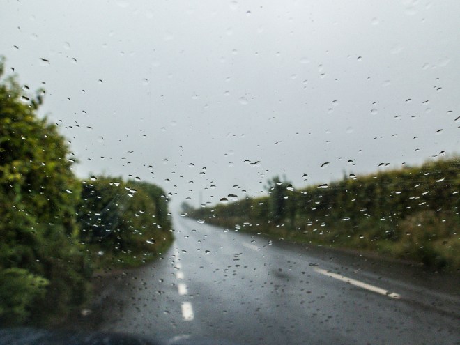
We were not in any particular rush leaving London on Friday, as I was driving I decided to leave it until after the morning rush hour. We had a good run till just before Bristol, this was the first time I have travelled from the M11 to the M4 on the M25 without actually stopping. The journey from Bristol was bad, bad. It took almost three hours to get to Ilfracombe from there, a six and a half hour journey all up. We had organised a really nice flat for ourselves, so something to look forward to when we got there. We were on holiday and not rushing.
The plan for this holiday was not to do much. I wanted to walk up one of the headlands outside Ilfracombe and when El is spending time in a spa in nearby Woolacombe I will walk out to Morte point. Apart from hanging around Ilfracombe we had not much else in mind. Reading, writing, eating and drinking was about it.
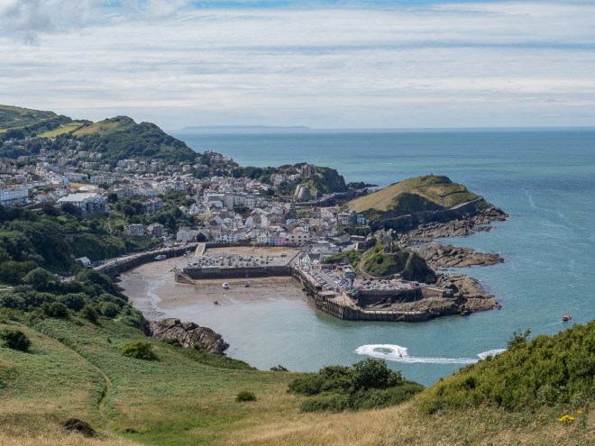
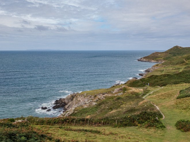
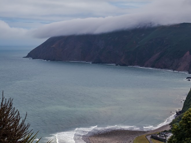
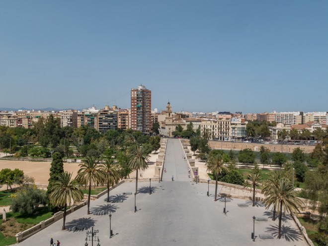
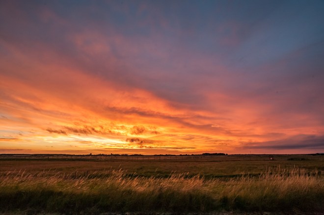
The weather forecast for the week was not great, so with a fine morning on Saturday we took the opportunity to walk up the headland we could see from our flat, Hillsborough Hill. I had walked down the headland last July as it is on the South West Coast Path (SWCP). The view back from the top is magnificent, Ilfracombe in all its glory, with Lundy Island in the distance.
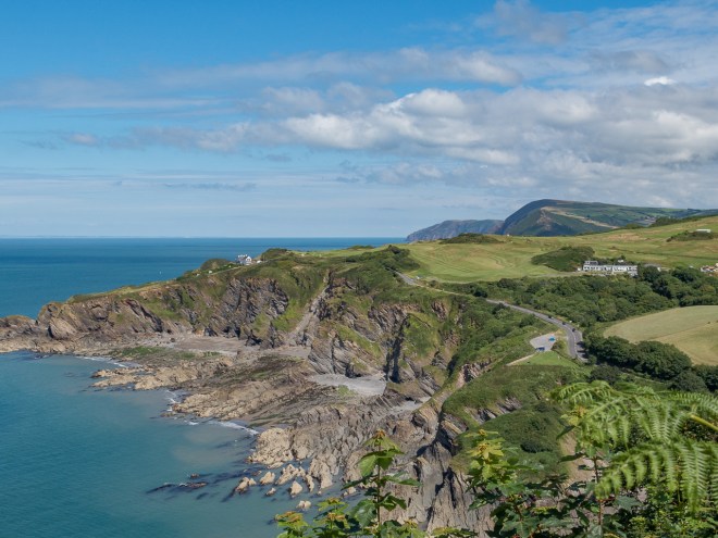
As was the view towards the east.
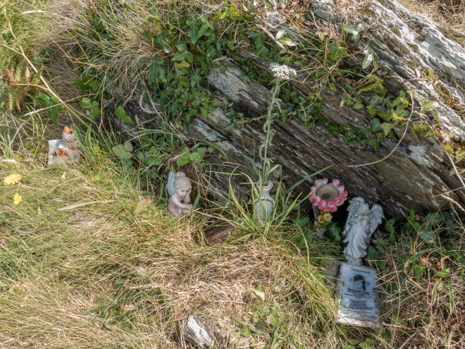
Near the top there was a tiny shrine, almost under a rock, I am not entirely sure who it is for, though it is quite touching and someone was obviously well loved.
It was nice walk, good to be walking up and down some grass hills for a change, though it was warm!
Once down from the hill we took a walk around Ilfracombe and picked up a few groceries. One of the reasons for getting a holiday flat rather than staying in a hotel or a guest house was to be able to cook for ourselves rather than eat out every night. Something we actually achieved!
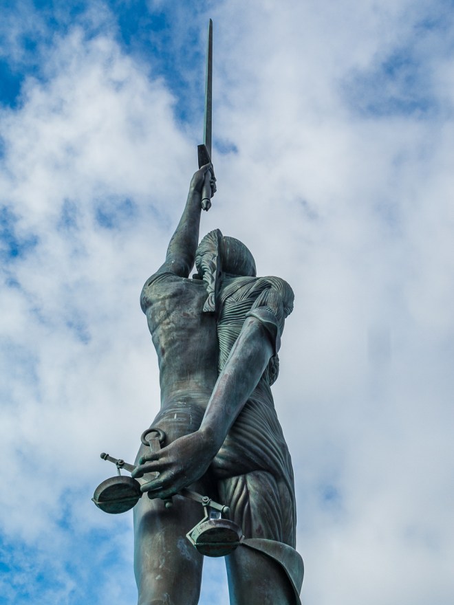
We did not do a heck of a lot the following day, it was raining so we went into Barnstable for a walk and a coffee and then just mooched for a while. We had a table booked at one of the restaurants in Ilfracombe. We left early so we could stop on the way and see Verity without there being too many people in the way.

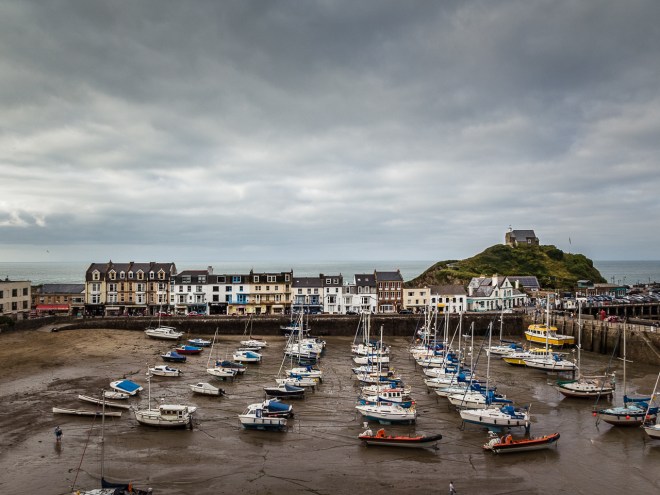
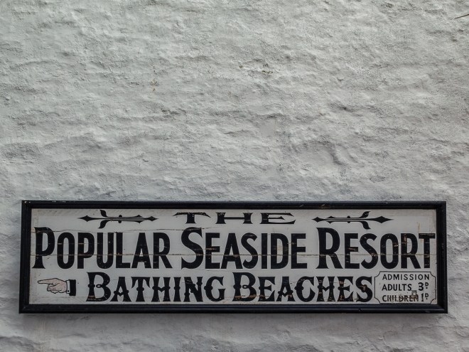
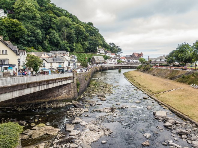
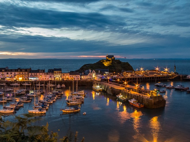
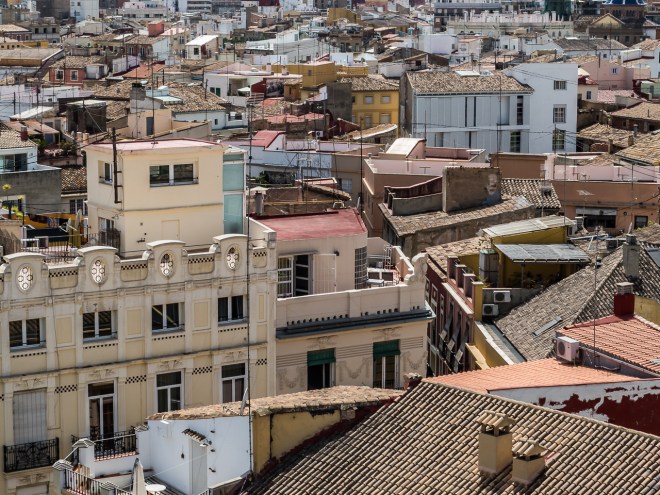
Ilfracombe is a small fishing town, now dominated by tourism, with a natural harbour. People having been living here for a very long time. While not quaint in the ‘olde worlde’ way it is a nice little town, and the harbour is very well organised !
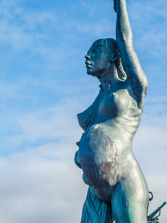
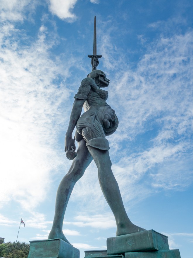
Verity is a 20 metre tall statue created by Damien Hirst and erected in 2012. It is a stunning work and completely dominates the small harbour. I found her quite a challenge to photograph.

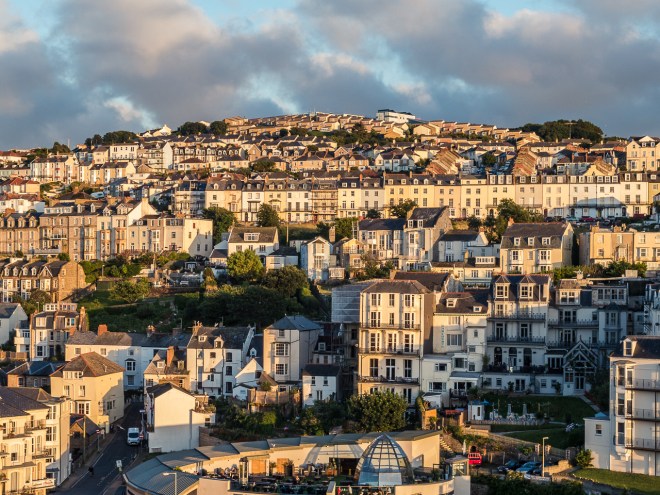
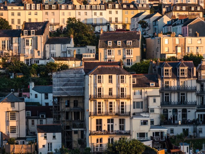
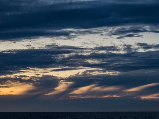
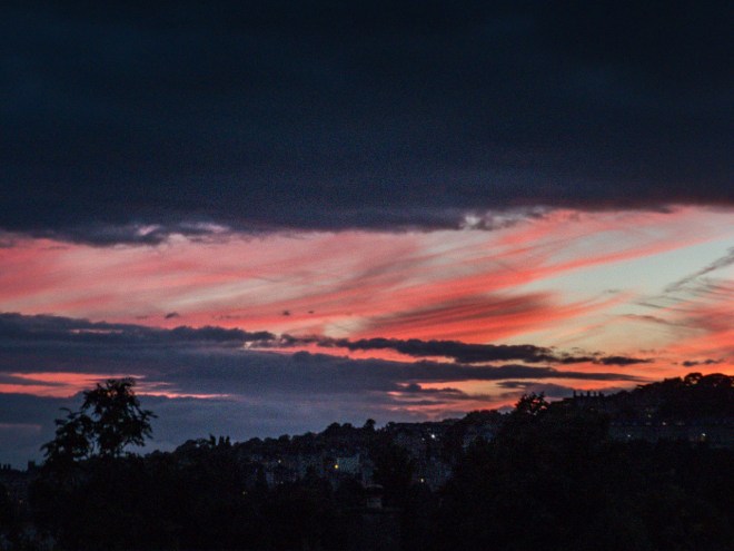
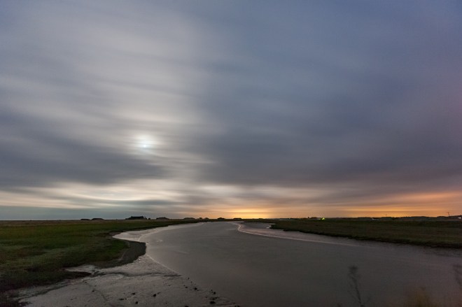
 After a very nice dinner we took a stroll up Capstone Hill, a small hill overlooking the sea. I was hoping for an amazing sunset as it looked like the view to the west would be great from up there, but there was no stunning sunset tonight. The light looking back over town was magic though. ‘Magic hour’ indeed. As I said on my Orford Ness post, I really should get out for this light more often. I do like the look of a town that grows up a hillside.
The statue of Katy remembers the short life of a young Russian girl, Ekaterine who tragically fell to her death walking in the fog when she was studying English here in 2000. The statue has such a lovely smile and I was quite taken by it. I wonder if the shrine on Hillsborough Hill that we found yesterday is related, it was in that area that the accident occurred.

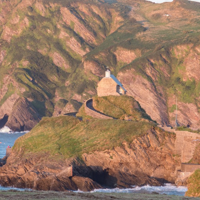
Walking back down the hill I finally got the angle I was looking for to get this image of St Nicholas’s Chapel with Hillsborough Hill behind it. Lovely light.
The following day El had a spa session booked in nearby Woolacombe. I took the opportunity to go for a morning walk from Woolacombe, along the SWCP out to Morte Point. I was hoping to see seals.
Woolacombe is the start of proper sandy beaches on the stretch of coast from North Devon to Lands End. Woolacombe Beach is massive and very popular. Though it was sunny there was quite a strong wind blowing and it was not really a lying on the beach day. Most swimmers were in wet suits!

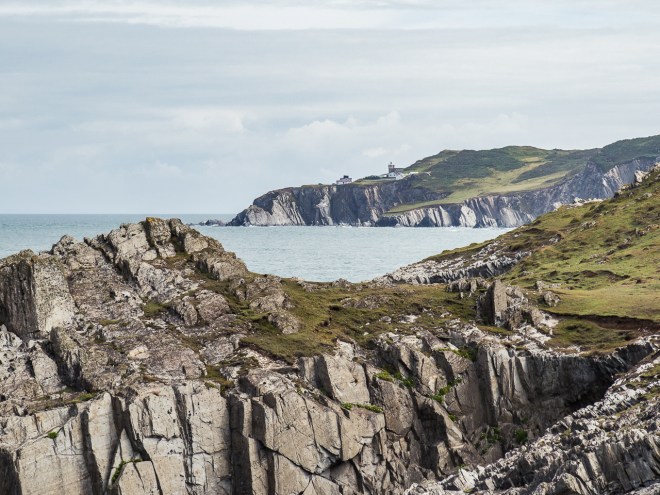
I had walked around Morte Point last year on my walk, it was at the end of a day of walking from Combe Martin so I was quite looking forward to going back and taking a more leisurely stroll, unencumbered by a large pack.
It took me about 40 minutes from the spa to round the end of the point and the view up the coast. There are no massive and dominate cliffs here, but those rocks are sharp and brutal and it is not called Morte Point for nothing.
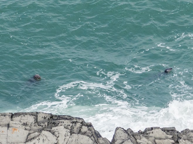
I walked along the path for a little bit, looking for and hoping to see some of the seals that are known to frequent the area. For a change I was rewarded with the sight of two seals just off the shore. Without a big lens and not being able to get too close to the edge here, this is a heavily cropped image. But I did see seals, so very happy!
I watched them play for a while before turning round and heading back the way I came, at the end of the point I decided I would head up the rocky spine and get some height and take the upper track back.
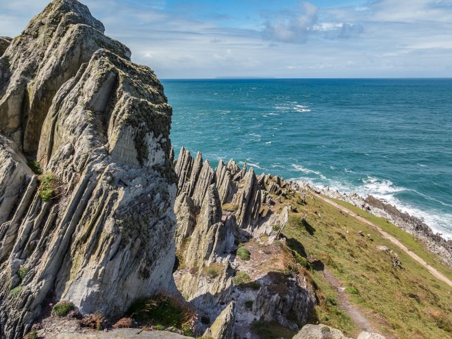
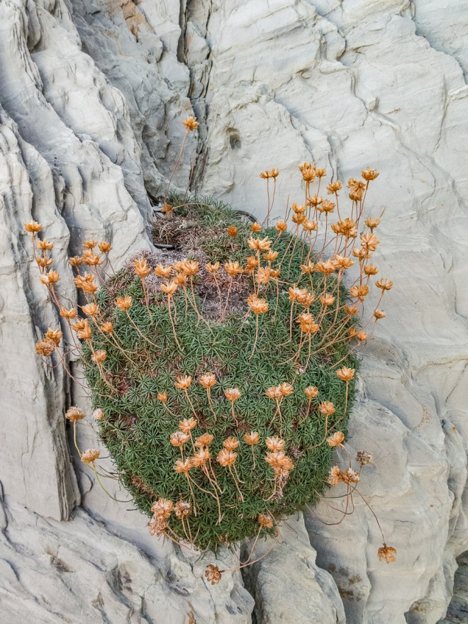
From the sea the point must look incredible as its spine is topped by rocky shards pointing out, like a stegosaurus, unusual. As were the plants growing in the rocks.
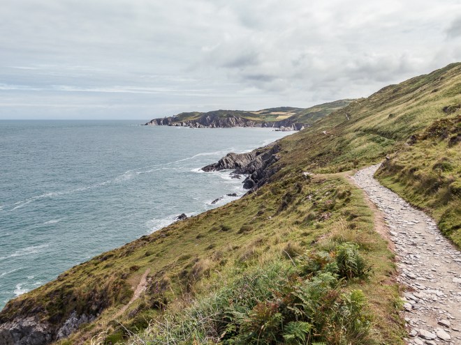
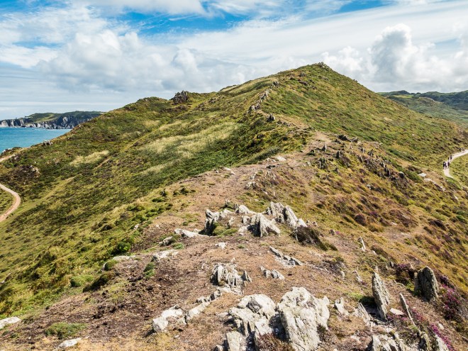
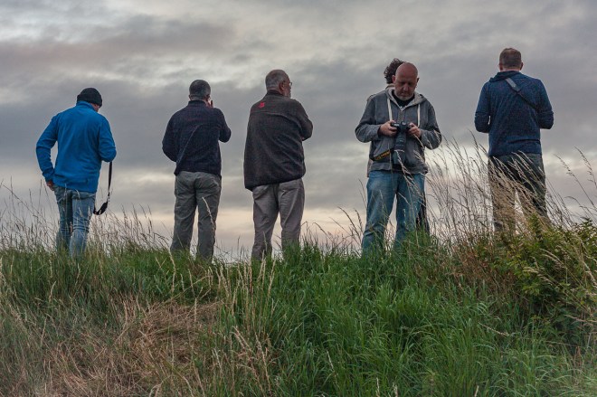
The view from the top of the point was brilliant, it was cool being able to see the coast path winding in both directions, I was trying to get a photo of both sections of the path with walkers on them, but the timing was never quite right, though there a lot of people walking today.
There were also a lot more people on Woolacombe Beach when I got back there, I love those wind breaks, and how so many people are huddled inside them – and you can buy chips on the beach. Perfect!

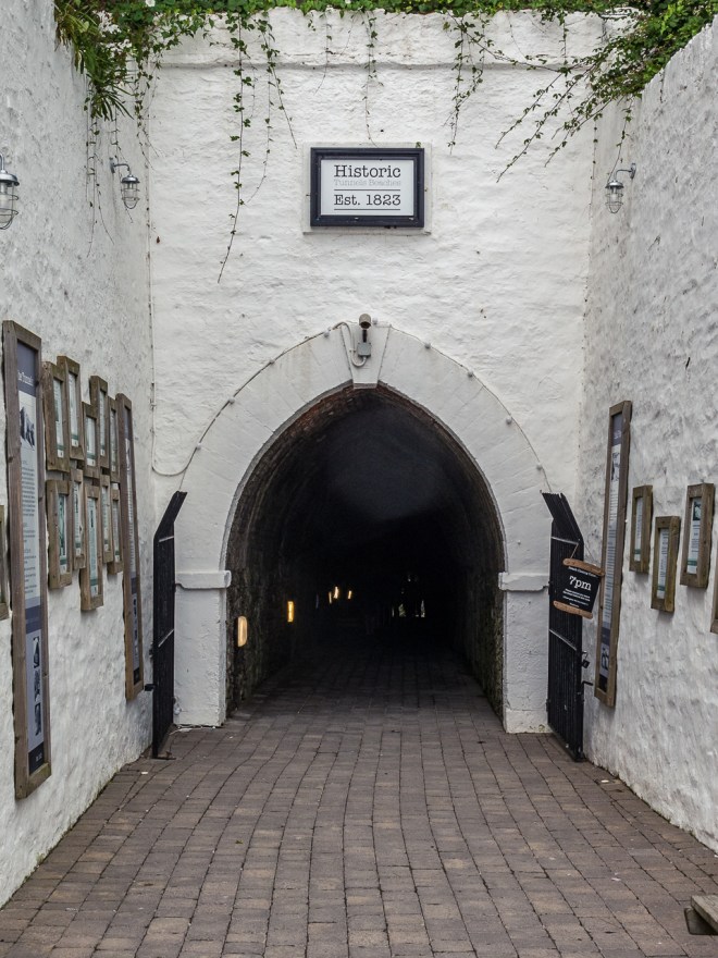
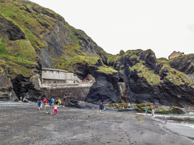
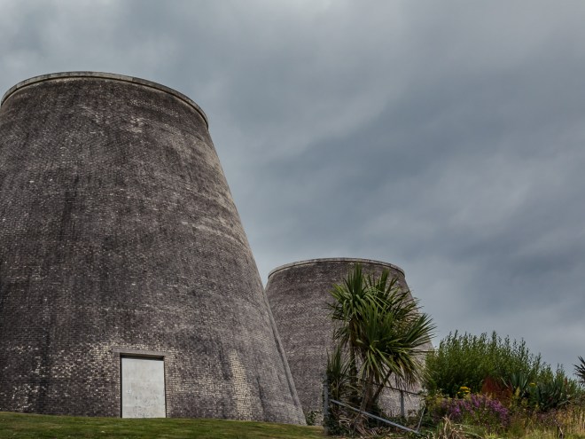
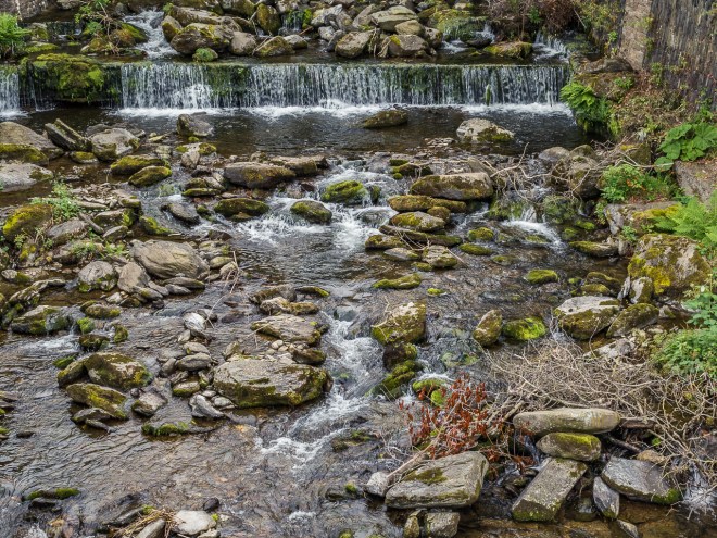
Ilfracombe does not have many scenic wonders or tourist attractions. The tunnel beaches are one of them, though I am not sure why. Maybe it was the day was a bit grey, or maybe I am just cynical! But I was not overly excited. Ilfracombe is not really a swimming town, the best beach was cut off from the town by cliffs so in the 1820s Welsh miners cut tunnels through the small hill from the town to the beach.
I must admit I was not stunned by the beach…
The Landmark Theatre is quite a cool building, known as ‘Madonna’s Bra’ by some, for obvious reasons.
It was Eleanor’s birthday while we were away, but the weather did not really play fair. We decided to go to Lynmouth and Lynton for lunch and a look around, we had passed the towns on the way to Ilfracombe and had visiting them as a back-up, rainy day activity.
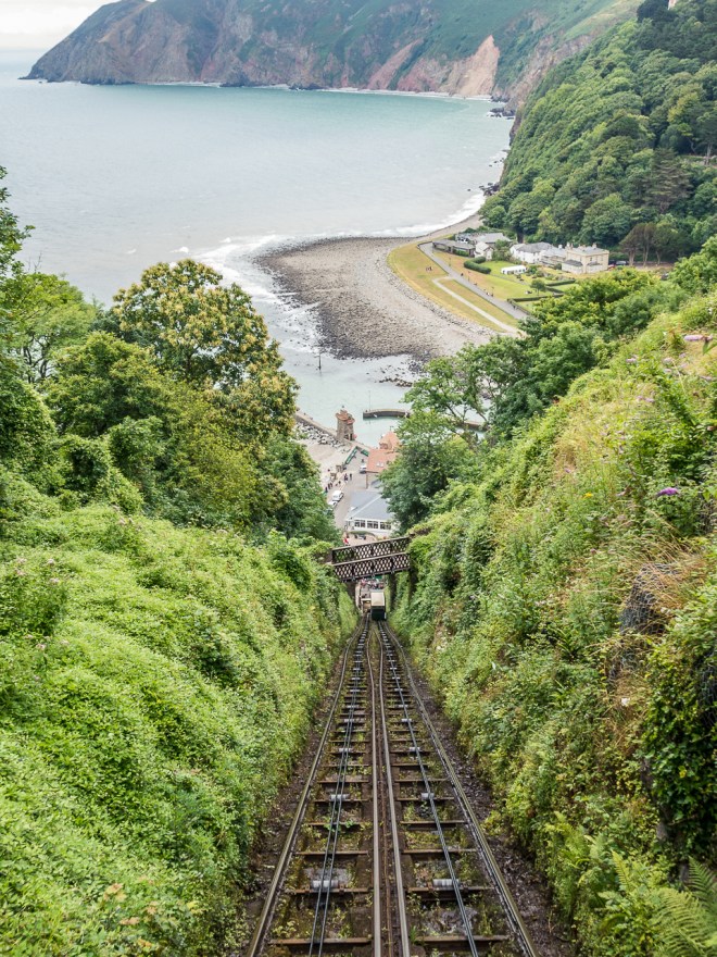
We parked in Lynton, which is at the top of the cliff, with Lynmouth below. There is a funicular railway between, which we caught both up and down. We only had two hours of parking so with lunch in mind we did not linger in Lynton before heading down. The cloud was quite low.
Lynmouth is a pretty village, very badly damaged when these gentle looking streams were turned into raging torrents after heavy rain back in 1952. We really liked it here and enjoyed the brief time we had wandering about – and eating fish and chips for lunch.
The funicular railway is very cool, not as dramatic as Victoria Peak in Hong Kong, but it is really steep, and is a great piece of engineering. Built in 1890 the two rail cars are water powered. The cars are linked by a cable, the car at the top is loaded up with 700 gallons of water which makes it heavier than the one at the bottom, which is emptied of water. Gravity does the rest. It really is ingenious.
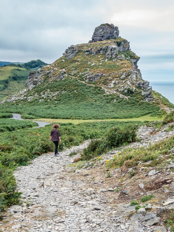
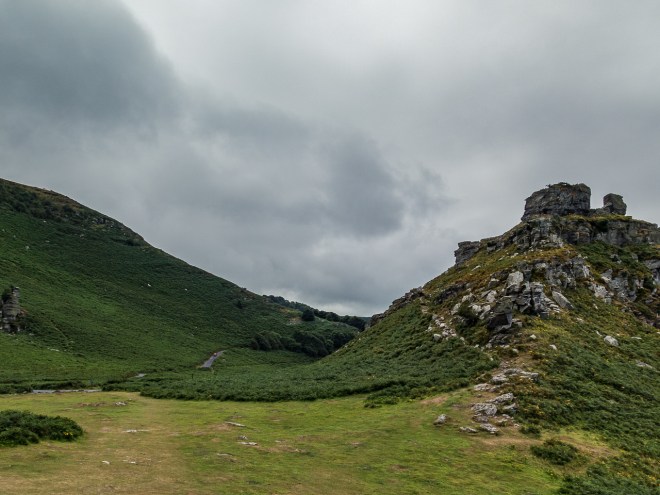
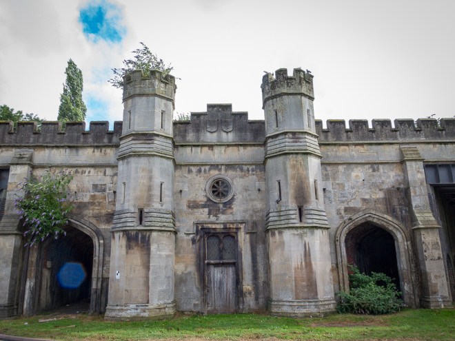
The original plan was to make the short walk from Lynton to the Valley of the Rocks, but as we could only park for two hours we decided to be lazy and drive. It is quite a cool little place to walk with its unusual, castle like rock structures.
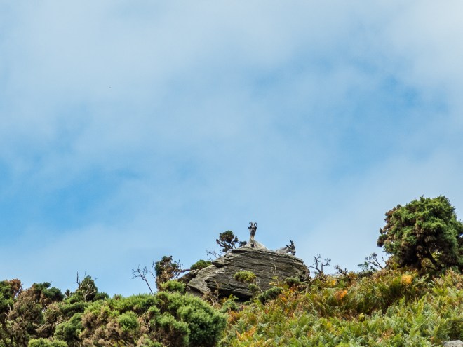
And goats…
The weather really started to close in so after a short walk we headed back to the car and back to Ilfracombe.
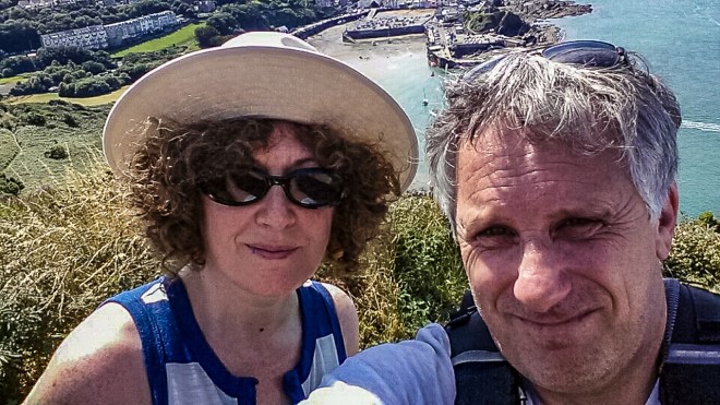
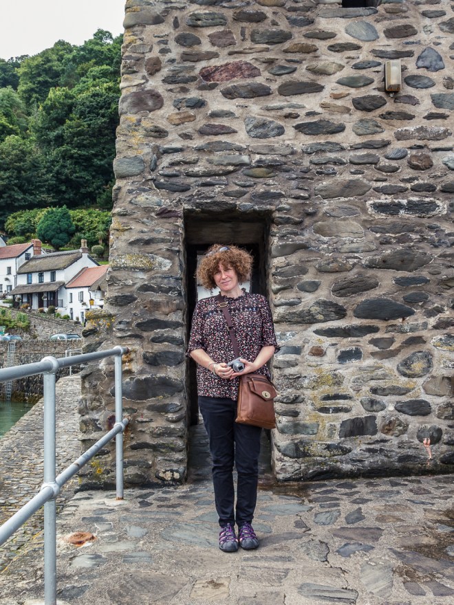
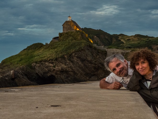
El and I had another great meal out, a birthday celebration. The evening was nice so we went for another walk around, hoping for a sunset again. I had brought my tiny tripod and we took a couple of selfies on the sea wall below St Nicholas’s Chapel.
With one last snap of Ilfracombe on the way back up to the flat – naturally up a hill overlooking town.
The flat above our one was under renovation, it had been a little bit noisy during the week but not too bad, though as we were heading out for dinner we warned that on Thursday night new carpet was going to be laid and that lots of furniture would be moved around – and it would be noisy.
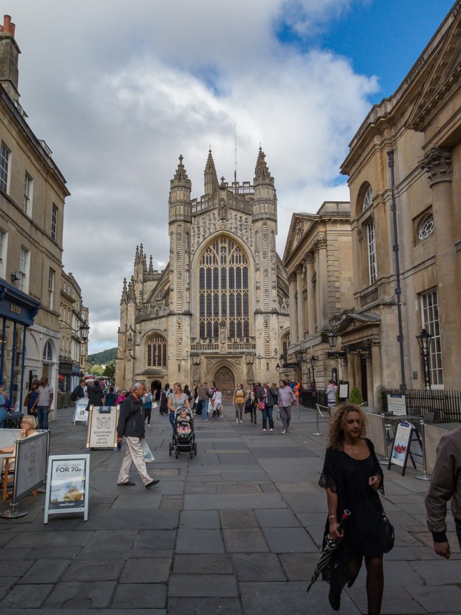
Thursday turned out to be a bit of a rainy day, so the thought of spending a day inside with noise above was too much and would have ruined what had been a good week. We decided to leave one day early and take a night in Bath on the way home. It was the right decision.
We really enjoyed Ilfracombe, the flat and our holiday. Thankfully, the holiday flat people refunded us for the night we did not stay due to the noise. That was really appreciated!


You must be logged in to post a comment.