
Wednesday 05 August 2015 – Minehead, Somerset.
After a few weeks of thinking and planning I am finally on my way south west from London to start the walk. I am making my way to Minehead a day early as I want to visit Dunster Castle, I have seen it a couple of times out of bus windows and have been keen to visit, so decided to take the opportunity while I was here. Given the fact that it was forecasted to, and eventually did , rain quite heavily over night I am glad I made the choice to not start walking today. Ease my way in to it.
El was up early to go swimming, so I had an hour at home to faff, do a final check, add to my pack the things I thought about in the middle of the night, take out the things I decided I didn’t need in the middle of the night and generally get ready to go without having to have a conversation with anyone. I am not the most social person when I am about to go travelling. I left soon after she got home and after the rush hour had passed. I will miss her while I am away.
Walking down to Walthamstow station was the first time I had walked more than ten feet with my pack on, it seemed to be OK – though heavy after not carrying any sort of weight for a while.

The train journey to Taunton was fine, and I was lucky to find the Minehead bus waiting at the station. The bus driver, who was about to depart as I was leaving the station, kindly waited for me and reopened the doors to let me on. If this was London he would have shrugged his shoulders as if to say ‘sorry mate, it’s the rules’, and then driven off leaving me on the foot path. I am liking Somerset. The bus did seem to visit every single village in West Somerset on the way though…
I arrived in Minehead and found my hotel easily enough; it was one of those quintessentially English hotels that are so endearing, and a touch frustrating. I suspect they have been what they have been for decades – and have no plan or need to change. Needless to say I was the youngest person there by a couple of decades apart from some young kids with their (I am assuming) grand parents. I had selected it as it was very close to the start of the path – plus it was a decent price!

I dumped my gear, packed a few essentials in an ultra-light day bag and headed out the door to visit the castle I had yet again seen from the window of the bus. Minehead is a funny place, it is not really my sort of holiday destination – it has a massive Butlins and not much else and caters for a different market to me. The tide was out and the skies a bit grim, which did not add to its appeal.

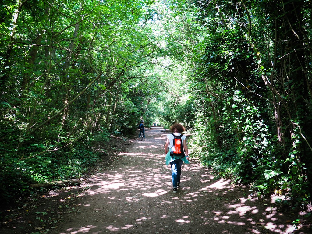
I caught the bus to Dunster Castle, I think there is a walkway through the hills but I was not wanting to get wet before I started. Last time I was here I spent quite a bit of time by this bus stop – as I did this time. Waiting, waiting.

Minehead is one end of the West Somerset Railway and if I had planned this part of my trip with more care I would have taken the old steam train from the town of Bishops Lydeard, which the bus passed through on the way to Minehead.

Dunster Castle is a National Trust property, as I am a member, I did not have to pay to enter. It was not my favourite type of castle, I much prefer the falling down ruined type, but it was well worth the visit and I enjoyed exploring it and the grounds. Though it was quite busy, as is usual on a holiday day when you cannot visit the beach.
There has been a castle on this site for over a thousand years. The first recorded fort was established by the Saxon Thegn Aelfric who was killed alongside King Harold at the Battle of Hastings. His land was given to a Norman, William de Mohun for his services in that battle. The older parts of the castle were built by the de Mouhn family until they were forced to sell it in 1376. The property was bought by the Luttrell family who owned it for 600 years, finally gifting it to the National Trust in 1976. Large parts of the original castle were destroyed at the end of the civil war in 1650.

I do like a good doorway, especially with some steps with an unseen ending. This gateway is from the 13th century and is the oldest remaining part of the castle.

Nice ! (though a bit of a wonky photo)

This was the toilet block…

Listening in to one of the guides talking to another visitor I heard about a roof leak a few years ago that had damaged the 19th century Italian wallpaper in this room. As replacement paper was no longer available they had to remove sections of paper behind these paintings to repair the water damaged sections. I liked that story.


The view out of the window from the upper floor over the Bristol Channel was a bit a foreboding and a reminder that I should not linger too long if I did not want to get soaked walking back to the bus stop – naturally I did not pack my rain coat….

I wanted to explore the castle grounds and visit the old water mill, but just after I got outside a light rain started to fall so I took a change of direction and headed back towards the entrance, via the small stream on the edge of the property.


I was looking to get a better angle to take a photo of the castle from, which I found.

The bus arrived at the bus stop soon after I did, though I did jog there to avoid getting overly wet. It was looking a bit grim in Minehead as I walked back to the hotel.

Though the forecast is looking pretty good for the rest of the week !

With not much else to do, and nerves not allowing me to relax too much I ended up down in the bar for a pre-dinner pint and then an early meal. The food was fine, basic 1970’s English holiday fare – served by a waiter who probably harks back to those days as well. The good old days of Basil Fawlty type service.
I retired early and had a hot bath, with a small whisky and my book – lovely, a bath and a shower in a hotel. the 1970’s were not all bad !!
I am really looking forward to starting the walk tomorrow. I am a little worried about how I go out there, not overly worried of course, as I sort of know what I am doing and I do know what I am physically capable of. I have never walked a long distance before, I have not carried a pack on a hike for decades and I am doing this on my own. Things to ponder while I tried to sleep.
I am on way into the unknown again, adventure ahoy !!!


You must be logged in to post a comment.